


News
Apr 16, 2020
-
Save to favoritesShare with your friends
-
What if — with digital mapping technology and advanced analytics — we could give farmers expert insights to help determine how a particular field is performing, from identifying weeds and yield impacting emergence problems to pinpointing nutrient deficiencies, water stress, fertilizer opportunities and other crop inputs that are needed to yield a sustainable crop supply?
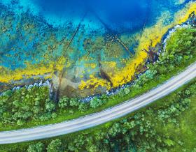
As the current pandemic progresses, protecting global food supplies as well as farmers and agronomists is increasingly relevant. For more than a decade the Remote Sensing Division of KeyW – now a part of Jacobs – leveraged digital tools in the Precision Agriculture market segment.
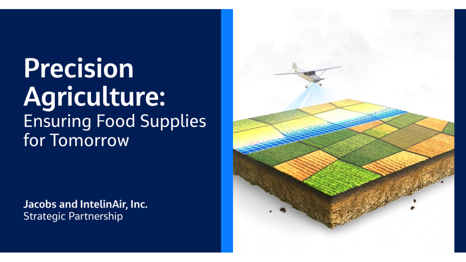
In partnership with IntelinAir, Inc., the Jacobs-IntelinAir team is accelerating the digital transformation of the farming industry. We’re providing scalable, high-grade multispectral sensor systems and aerial services, while IntelinAir provides their AI machine learning powered analytics platform (AgMRI™) that delivers a complete and uninterrupted view of every acre, every field from planting to harvest.
Supporting Precision Agriculture, our sensors are flown over farm fields to conduct digital mapping. The multispectral imagery our sensors produce is used by IntelinAir to create timely crop insights that aid farmers across an entire season in making decisions for an optimum and sustainable yield.

Additionally, pairing the hi-res image capabilities captured by Jacobs and the analytics of IntelinAir provides agronomists and farmers alike the ability to see issues developing on their fields without driving and walking those fields. This helps with social distancing during the current pandemic and increasing overall efficiency of farmers and agronomists.
AgMRI also delivers a powerful digital collaboration platform that is essential during a crisis like COVID-19, and very likely in its aftermath. With safety as a first concern – AgMRI allows all parties involved in crop growth to review a field situation and discuss remediation options without having to be there in person. The hi-res images provided by Jacobs then deliver a virtual bird’s eyes view with options to zoom in to see actual plants or field characteristics.
“The world-class high-precision remote sensing technology from Jacobs combined with the most experienced team in the business enabled and empowered our team to push the limits of our own analytics technology to deliver truly measurable, reliable and actionable smart alerts to our agriculture industry customers,” shares IntelinAir Co-founder and CEO Al Eisaian.
And, we’re already expanding the limits of possibility! Jacobs and IntelinAir have grown the program from coverage of one-and-a-quarter million acres last year to four million acres this season. Our aerial mapping coverage started earlier this month and will be repeated twelve more times throughout the growing season, as our sensors feed data into the AgMRI platform to monitor the health of crops and help ensure our food supply.
Jacobs’ global partnership with IntelinAir adds a new dimension to strengthen our focus on sustainability and resilience efforts. Our commitment to technology investment and to digital transformation are building a connected, sustainable future.