


News
Jun 28, 2021
-
Save to favoritesShare with your friends
-
From NASA’s manned spaceflight programs over 50 years ago, to current International Space Station (ISS) missions, the Earth Science and Remote Sensing (ESRS) group at NASA Johnson Space Center (JSC) assists scientists around the world facilitating photography requests of Earth taken by astronauts from the space station. Supported by Jacobs/Johnson Space Center Engineering, Technology and Science (JETS) contract contract employees, the ESRS group works with astronauts to produce photography from some 240 miles overhead, which can include images that help aid disaster response efforts, document changes to Earth’s surface over time, and support science, research and conservation in collaboration with the Avian Migration Aerial Surface Space (AMASS) project.
-
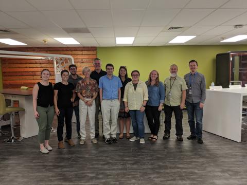
Members of Earth Science and Remote Sensing group (October 2019)
-
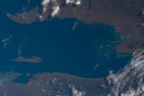
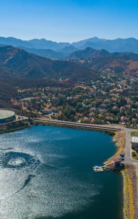
ISS photo of Jaymes Bay, Ontario Canada used for the AMASS project
-
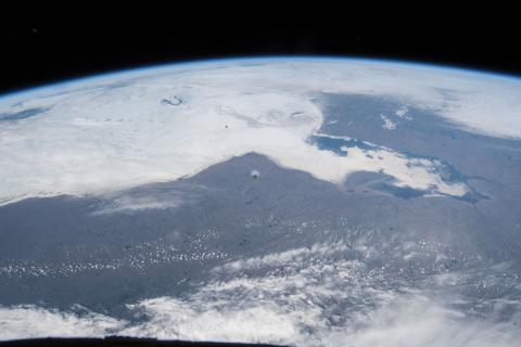
ISS photo of Jaymes Bay, Ontario Canada used for the AMASS project
Each day, scientists in the ESRS group evaluate imagery requests, also known as targets, to see where astronauts on board the ISS can take photographs the following day. Targets of opportunity are selected based on where the ISS is orbiting over, lighting conditions, astronaut schedules and weather conditions. Some target requests are of a single location, where others may be large-scale imagery projects that involves photographing dozens of locations over many years. One example of a large-scale imagery project is ESRS’s collaboration with the AMASS project.
AMASS is run by the Roberta Bondar Foundation, a non-profit organization in Canada that brings awareness to several endangered bird species and their migratory corridors. Dr. Roberta Bondar, Canada’s first female astronaut, has spent many years connecting her shuttle spaceflight experience to engagement with nature. Dr. Bondar reached out to ESRS in 2016 to request new ISS photography of a few key locations along the migratory paths in Canada and the U.S. In 2018, the collaboration between the AMASS project and ESRS expanded to 40 different locations across North and South America, Europe and Africa.
Since 2018, ESRS has worked closely with the AMASS project to collect new imagery of target locations and search the astronaut photography database for existing photos. Each location needed a pair of shots: nadir-looking (vertical) and with Earth’s limb (horizontal).
-
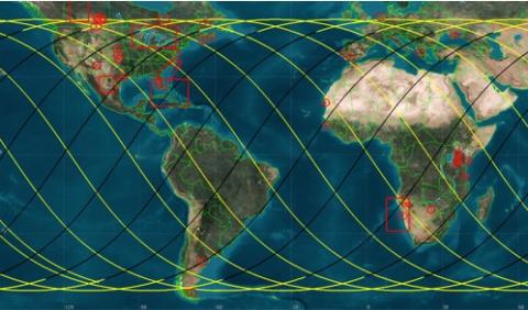
Map showing 40 different AMASS target locations where ESRS requests new ISS photography
-
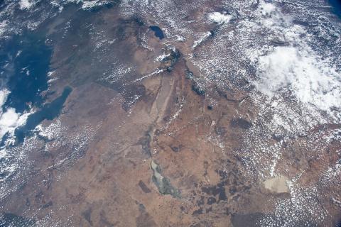
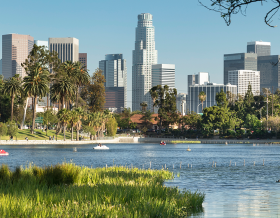
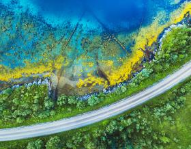
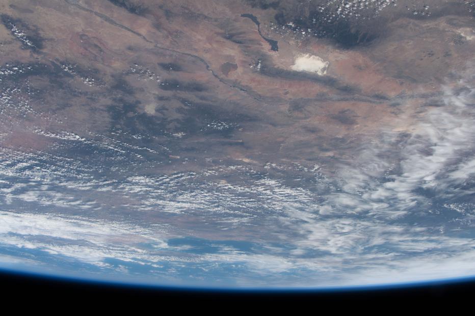
ISS photos of Tanzania, showing various lakes of East Africa where the Lesser flamingo migrates
-
ISS photos of Tanzania, showing various lakes of East Africa where the Lesser flamingo migrates

This project collaboration expanded even further in July 2019, when the two groups decided to collect time-lapse imagery of the various bird migratory corridors. The disruption of migratory corridors represents a serious threat, especially to bird species that face extinction, and images help bring attention to habitats along migratory corridors that are impacted by human activity and climate-related change. AMASS takes advantage of thousands of images captured by astronauts to engage people in a new view of the environments and vast distances migratory bird species travel across, providing a compelling reason for conservation of birds and the importance of habitat protection.
The typical bird migration occurs from north to south. However, the ISS orbits Earth at an inclination of 51.6°, so the group had to get creative on how a time-lapse could best capture and represent the birds’ flight path. To do this, ESRS developed new procedures for time-lapse photography requests that followed along ISS orbit trajectories and trained ISS astronauts on the new type of photography request. When a time-lapse is taken, thousands of photos are stitched together using video editing software and used to create videos that “fly over” the bird migratory pathways.
By the end of 2020, ESRS worked with several ISS crews, which started with mission ISS057 in 2018 and continues today. Over the past two years, ESRS managed to successfully request and obtain photos for all 40 locations for the AMASS project. This took a significant amount of communication between the ESRS and AMASS teams along with astronauts on board the ISS.
Completion of these 40 targets has been a tremendous accomplishment for ESRS, because there was no guarantee that targets would ever be photographed due to crew schedule, weather conditions and ISS ephemeris. Yet, the group met their goal within a two-year window.
ESRS looks forward to further collaborations with the Roberta Bondar Foundation and continuing to facilitate imagery request in support of science, research and conservation.

The ESRS group at NASA JSC hosts the Gateway to Astronaut Photography of Earth website (https://eol.jsc.nasa.gov/) where over 4 million astronaut photos of Earth are freely available to view and download.
Find out how Jacobs and NASA scientists are leveraging remotely-sensed data acquired by ISS’s orbital sensor systems, and captivating images from 240 miles overhead to provide critical disaster response aid, and help communities recover and become more resilient, here.