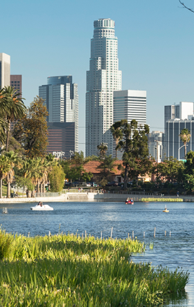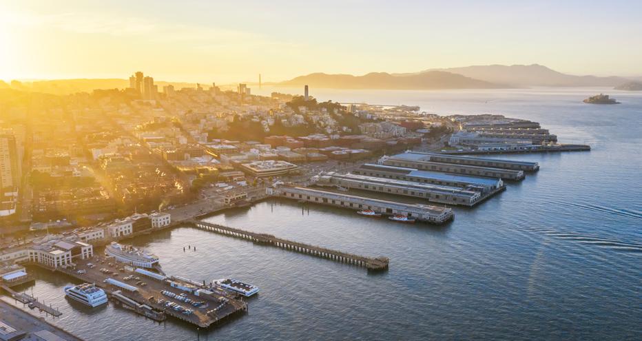
The Embarcadero Seawall Program area includes the flood hazard area, seismic hazard area and Port property along the extent of San Francisco’s northern seawall (Hyde Street Harbor to Oracle Park.) Photo courtesy of Port of San Francisco
The recently released Multi-Hazard Risk Assessment Northern Waterfront and Embarcadero Seawall Summary Report is the culmination of a study involving multiple disciplines, experts from many industries and feedback from thousands of people. “The comprehensive nature of the study shows the Port of San Francisco’s commitment to planning and preparing for earthquake and flood risks to protect San Francisco’s Northern Waterfront and Embarcadero, its assets and infrastructure that over 20 million people enjoy annually, and its partnership with diverse stakeholders,” explains San Francisco Port Waterfront Resilience Director Brad Benson.
The multi-hazard risk assessment (MHRA) evaluates how two primary hazards – seismic activity from an earthquake and coastal flooding due to extreme storms and sea-level rise – could cause damage and disrupt safety and disaster response efforts as well as impact many of the daily functions along the three and a half miles of San Francisco’s bayside waterfront. The MHRA undertook a comprehensive assessment of the waterfront to understand the impacts and consequences of these hazards both today and into the future.
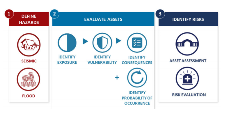
Findings generated by the MHRA will be used to help guide investment decisions to enhance the resilience of the northern waterfront, the 3.5 miles from Hyde Street Pier to the 3rd Street Bridge on Mission Creek.
Some of the region’s most popular recreation areas and attractions, including national historic districts, numerous small businesses, residences, maritime and industrial operations, assets such as Bay Area Rapid Transit (BART) and San Francisco Municipal Railway (Muni), the Embarcadero, and a cluster of power, water and wastewater utilities face considerable risks from earthquakes and coastal flooding, which continues to increase due to sea-level rise.
Several key points are summarized in the report that point to the need to continue to prepare for the increasing potential for major earthquakes and current and future flooding due to climate change induced sea-level rise. Such points include the significant number of people who would be at risk if an earthquake occurs during the day and that the Embarcadero roadway has significant seismic risk, which could impact emergency disaster response and local and regional transportation.
The MHRA is one source of data and guidance to aid decision makers in selecting, prioritizing and designing future projects to reduce the potential impacts from these risks. With the MHRA, and the input gained through robust community engagement efforts, the Port will develop a set of specific risk reduction projects to initiate a multi-decade programmatic resilient upgrade of the Port’s Embarcadero Seawall and associated waterfront infrastructure. The first of these projects is targeted to be selected and start in the spring of 2021.
“The unique approach the Port is taking in terms of a multi-risk and multi-stakeholder assessment as a way to quantify and qualify impacts is cutting new ground in how to holistically address resilience,” reports Jacobs Program Manager Darren Milsom. "Our integrated team, which includes the Port, is closely collaborating with stakeholders to develop a fair and equitable approach to manage resilient development and support informed decision making with limited resources.”
With seven miles of waterfront, including three plus miles of seawall, investment decisions and priorities need to be fully considered and equitable, and the MHRA offers the data to make both fair and exacting decisions.
The Jacobs Team is a diverse team comprised of approximately 30 entities with technical specialists, subconsultants and Local Business Enterprises. With limitations on in-person meetings the team has adapted to provide a vast amount of information on the MHRA and potential risk reduction measures to our stakeholders and the public via the website.
