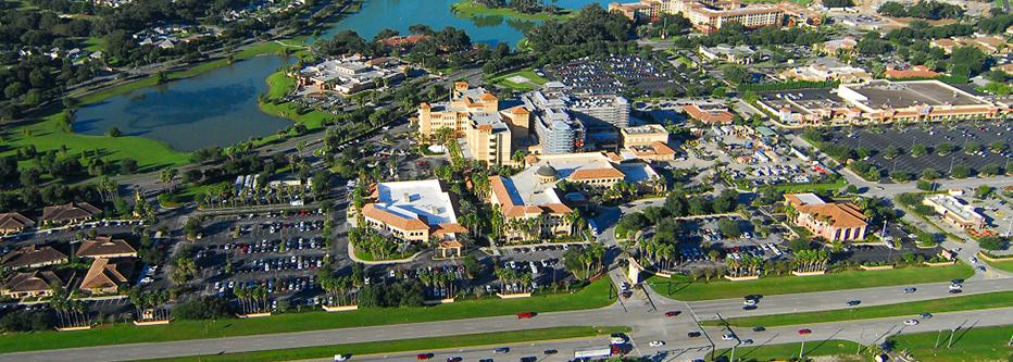
Walt Disney World® attracts over 58 million visitors annually to Orlando, Florida. But travel an hour northwest of Orlando and you’ll arrive at what has been likened to an adult Disney World, The Villages.
The Villages is the largest 55-plus community in the world. Spread over 82 square miles and home to more than 138,000 residents, The Villages continues to grow in population and square mileage. In fact, it was the fastest-growing metro area from 2010 to 2020 according to the U.S. Census Bureau. But with rapid and extensive growth comes challenges.
With 54 golf courses, 807 miles of roadway, water distribution and collection pipes that connect more than 55,000 homes to water facilities and still growing, hundreds of thousands of built assets are being installed at lightning speed. To accommodate the growth, The Villages had to rethink how they manage such assets. As their long-term operations and maintenance and public works partner, Jacobs proposed utilizing Light Detection and Ranging (LiDAR) and Geographic Information Systems (GIS) to capture and manage these assets in a digital database and ultimately enhance safety, sustainability and livability within the community.
-
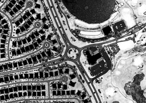
Aerial LiDAR capture of The Villages
-
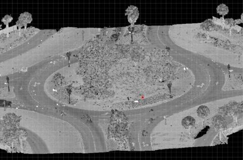
Mobile LiDAR capture of The Villages
Utilizing technology to approach things differently
Water valves, fire hydrants, sprinkler heads, sidewalks, street signs and more require substantial staff resources to install and operate. And with the speed of the community’s development, doing so by hand is not an option.
In 2019, we proposed a multi-phase approach to complete data capture of highly accurate and attributed GIS data using survey, aerial photogrammetry, aerial LiDAR and mobile LiDAR. LiDAR, a surveying technology that digitizes everything within view, would allow us to compile a comprehensive asset catalog for The Villages quickly, accurately and at a lower cost.
“With a digital asset catalog, we can keep up with the assets being added daily, enhance our asset management decisions, manage projects more effectively, and therefore provide higher quality service to residents,” says Jacobs Program Director in The Villages Rock Raiford. “We’re also excited to be able to use the data for other efforts, such as designing efficient routes in the new developments.”
Phase one was complete within a year and included capturing 328,000 water infrastructure assets like manholes, hydrants, water mains and valves. Phase two will be completed this summer and includes identifying remaining critical above ground assets like pavement, streetlights and signs, sidewalks and curbs, with 600,000 assets captured thus far.
“Even though the project is not complete, we’ve seen increased efficiencies now that we have accurate, credible data available,” says Jacobs Geospatial Project Manager Kristopher Andersen. “We’re integrating our asset data in a meaningful way and have one database for information that can be accessed and utilized by our staff, developers, contractors and The Villages.”
In the end, this data will help key stakeholders and us make potentially lifesaving decisions — from responding to water main breaks and preventing sewer overflows to maintaining sidewalks and installing traffic signs so residents can safely operate their golf carts and vehicles.
“Finding innovative solutions for our clients is a testament to our mission of challenging today to reinvent a better tomorrow for our communities.”
Reinventing a better tomorrow
Upon completion of phase two, 1 million assets will have been captured in the database, thousands more than the previous data available. With The Villages' rapid expansion, a third phase is planned for 2023 and will include the newest communities that were still under construction when phase one began.
While the final phase of the asset inventory project will be completed in 2025, asset management and GIS are never complete. This approach to data collection and management has set The Villages up for efficient, accurate and safe ongoing asset management and operation.
“Finding innovative solutions like this for our clients is a testament to our mission of challenging today to reinvent a better tomorrow for our communities,” adds Rock.
You might be interested in...
-
 News
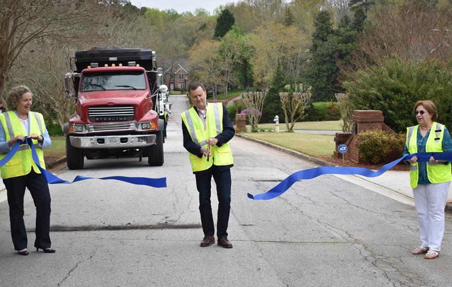
NewsJacobs Keeps Up the Rhythm of Public Works in Cities Nationwide
To celebrate National Public Works Week, we’re sharing what some of our teams nationwide have been up to, all while taking precautions and practicing social distancing!
-
 News
NewsNational Public Works Week: Jacobs Helps Cricket Become a Smash in Johns Creek
As we celebrate National Public Works Week, May 17 to 22, we’re highlighting how Jacobs is playing a key role in the rhythm of a community.
-
 News
NewsQ&A: Talking with Intern Turned Engineer Blane Solomon about How She’s Helping Shape the City She Grew Up In
Marking National Public Works Week, we sat down with Assistant Transportation Special Purpose Local Option Sales Tax Manager Blane Solomon at our Operations Management and Facilities Services project in Johns Creek, Georgia, to learn how she got started in engineering and now helps shape the city where she grew up.


