


News
Nov 8, 2019
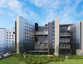
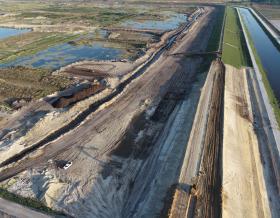
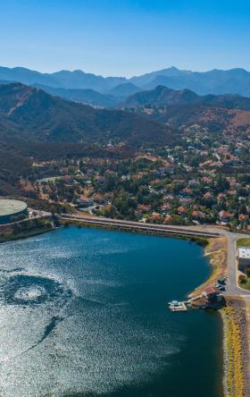
The integration power of Geographic Information Systems (GIS) enables us to visualize new possibilities by reimagining new data combinations and analytical algorithms. This supports our clients by identifying the right project solutions. Especially with aging infrastructure, growing populations, inadequate / constrained funding, finite resources, fragile environments, increasing connectivity and crowding which forces us to better understand our world and look at new ways to solve both old and emerging problems.
While GIS is not a new field, dating back to the 1970s when computers and the science of geography converged, technological advancements (such as the internet and new data capture methods) have seen its application and relevance in complex decision-making grow at an exponential rate. Listen to our recent Applied Geospatial Science podcast, which captures a conversation with the world- renowned author Dr. Michael Goodchild, Emeritus Professor of Geography at the University of California, and Jacobs Buildings and Infrastructure & Advanced Facilities Director of Geospatial and Visualization Clare Bullock.
Simply having access to new technologies and data will not necessarily deliver new insights. To transform data into valuable and reliable information, it’s important to have the right combination of technology and human intellect.
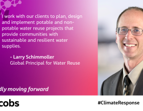
Working in partnership with our clients and drawing upon the deep domain expertise across markets and disciplines means we can help our clients confidently navigate the world of big data and see new possibilities.
So, in celebration of GIS day, we asked our Buildings and Infrastructure & Advanced Facilities global geospatial technology leads to join the party by sharing their perspective on aspects of GIS and maybe even where human intelligence and technology meet.
To not understand the trajectory of geospatial science and the continued and rapid integration with other emerging technologies, is to risk being disrupted. As technology continues to advance, geospatial solutions and services are becoming increasing pervasive in all aspects of our lives and that of our clients lives. Geospatial is progressively being used to synthesize, visualize and analyze not only large data sets, but many and varied data sets. These data sets in some cases, are new to problem solving and planning integrated decision-based solutions. The broad scale appeal of spatially enabled data is that it helps us to make sense of large volumes of data through visualization.
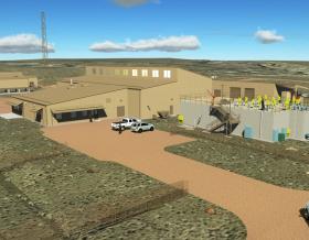
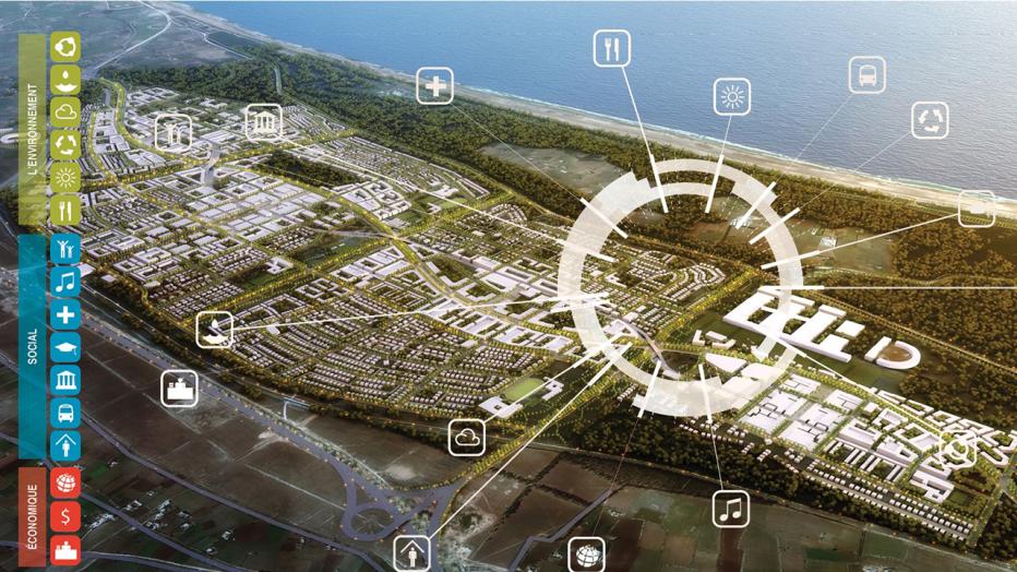
Digital twins, predictive modeling, machine learning, artificial intelligence and 3D spatial analytics are converging and crossing over from one market into the next. They now permeate the urban planning and design market with products like ArcGIS Urban, CityEngine and GeoPlanner, to name a few. As urban designers and engineers, we need to understand the quantitative impact of design decisions. This requires integrating key performance metrics with spatial analytics to evaluate and compare the impact of alternative scenarios against specific goals and targets, and more importantly, to understand the tradeoffs using 3D Geodesign tools.
These 3D Geodesign tools would incorporate the best of evidence-based, performance-based and experiential-based modeling techniques. So, what does this mean? Evidence-based modeling uses the power of spatial analytics to understand how our world works. Performance-based modeling helps us understand how we are doing against specific goals, and experience-based modeling helps to communicate how we might “feel” in that space.
To me GIS Day is an opportunity to dispel the myths that GIS is just about making maps. It’s also another opportunity to spread the word about what GIS can do to help deliver projects more efficiently. For example, industry trends are focused around integration and streamlining workflows. Vendors are now collaborating to make it easier to create automated workflows that use traditionally siloed software. The Autodesk-ESRI partnership is a recent example of this that has opened up the possibility for real integration between the built and natural environments. Traditional (manual) tasks are under threat by scripting and workflow technology that reduce delivery time and increase quality. Jacobs is developing solutions that can now automatically check that a design conforms to project standards. This is reducing a 30-minute task down to a 30-second task.
GIS provides the ultimate opportunity to integrate complex information into a simple visual that anyone can understand. Visualizations are powerful and are more tangible for decision making than concepts. People process visuals much quicker than words – within 100 milliseconds according to a BMC blog. What if you could physically see data in a new way instead of trying to piece together different bits and pieces in your brain when making decisions? GIS can help you do just that!
Search for us on your social channels to discover how we are partaking in #GISday in geographic locations around the globe. And, see how GIS helped this top travel destination become more resilient. Or how the technology fueled important smart decisions for this growing city.