


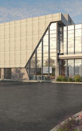


Projects
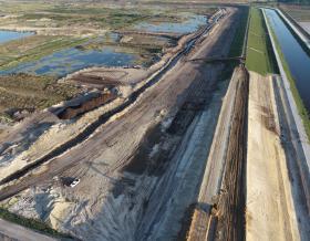
METRO Inner Katy BRT
Improving regional transit mobility and connectivity along the I-10 Corridor near Houston
-
Save to favoritesShare with your friends
-

The purpose of this project is to improve regional transit mobility and connectivity between the Northwest Transit Center and Downtown Houston along the I-10 corridor.
The BRT project proposes an exclusive bi-directional guideway for BRT and Regional Express buses along I-10 Inner Katy Freeway and exclusive transit lanes along Rusk St and Capitol St in the Downtown area. The traffic operational analysis was conducted using HCS and VISSIM in the I-10 corridor and VISSIM in the Downtown Houston area.
Jacobs reviewed data collection and developed microsimulation VISSIM models for AM, PM and mid-day peak hours for the downtown Houston area (50 signalized intersections) for existing, no-build, and two-build alternatives. The VISSIM modeling included existing conditions calibration with travel time (vehicles and light rail transit [LRT]), and observations in the field, implementing an exclusive LRT lane for future conditions, including pre-emption and queue jump signal phasing, and adding BRT for build conditions. For future conditions, traffic demand and patterns from planned projects near the study area such as Bagby Street improvements, the North Houston Highway Improvement Project (NHHIP) project, painted bus lanes, and Central PostTX development were incorporated in the model. A traffic growth rate for the study area based on Texas Department of Transportation (TxDOT) data, travel demand model, and planned projects near the site was proposed. Jacobs coordinated with TxDOT and the City of Houston for analysis assumptions and results. Jacobs presented analysis assumptions and findings to downtown stakeholders and incorporated input in the analysis.
